North hemisphere ocean island links

"Welcome to Crest of a Star; these maps and other graphics are only for playing D&D type games. They are copyright and not to be used for other purposes. If you have them on your site, please remove them. Thank you."
Hi and welcome to my Crest of a Star site ! This site is my first edition AD&D materials.
I have added to the maps, people, etc. since I bought Campaign Cartographer 2 around 23 or so years ago. I now have CC3+ and all of its add-ons.
Link in the Home text at the top of this drop down will bring you back to the front page of this site.
My other rpg sites below.
Posted

Author
Sam Guy
Categories
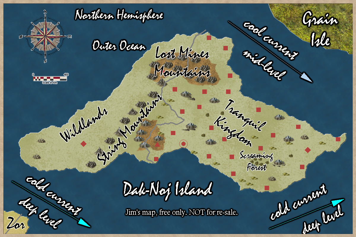
Outer Ocean, Islands
Posted
Author
Sam Guy
Categories
Outer Ocean, Islands
Posted
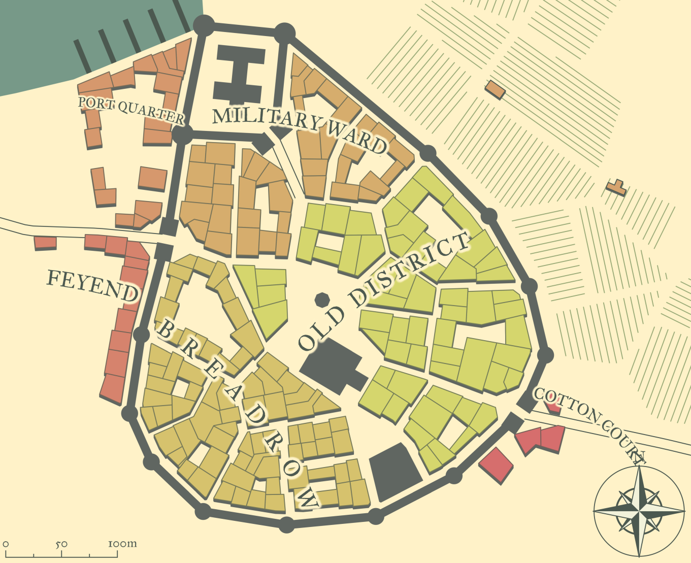
Lorn, a city on the west coast.

Author
Sam Guy
Categories
Duchy of Flat, Lorn
Posted
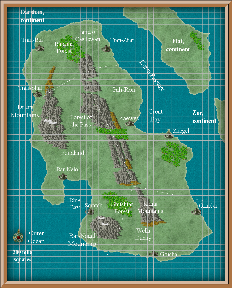
Four nations: Land of Castlewan, Fondland, Gah-Ron, and Wella Duchy.
The Kelna Mountains run the length of this continent.
The large forests are marked: Barasha, Forest of the Pass, Fornal Forest, and Ghustar Forest.
Two very large bays, each with its own city.
This continent is about 8500 miles long and about 5400 miles wide.

Author
Bill George
Categories
North Hemisphere, Darshan
Posted
Gah-Ron’s cities are Zaewes and Zhegel.
Zae’s Forest is an interesting location. Daytime passage is easy, night time or dusk, there have been disappearances. Greggle Forest is the home of elves and halflings. Forest Pass is how many get between Gah-Ron and Fondland.
The Great Bay is sometimes haunted.
The capital location is not currently mapped.
Animal meat are most of what they sell to others. The fish they keep for themselves. Imports are grains, iron tools.
Author
Bill George
Categories
Darshan, Gah-Ron